View All
March 2-6, 2026 is Severe Weather Awareness Week!
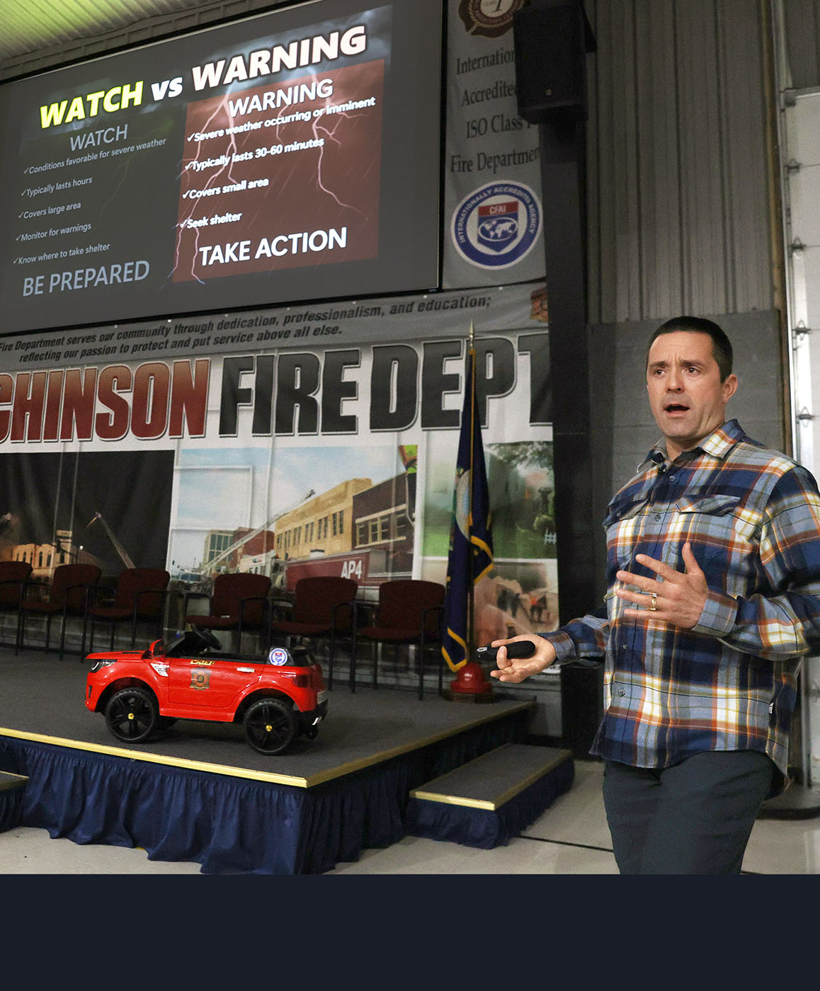
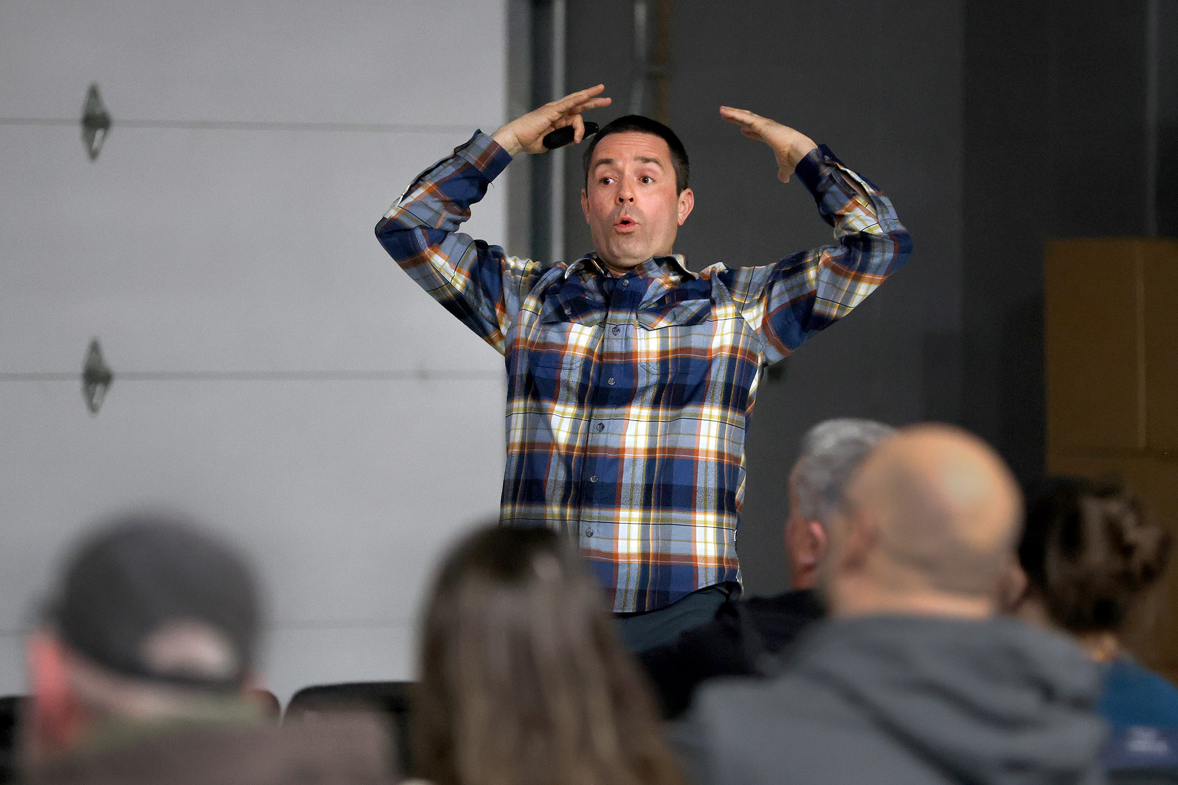
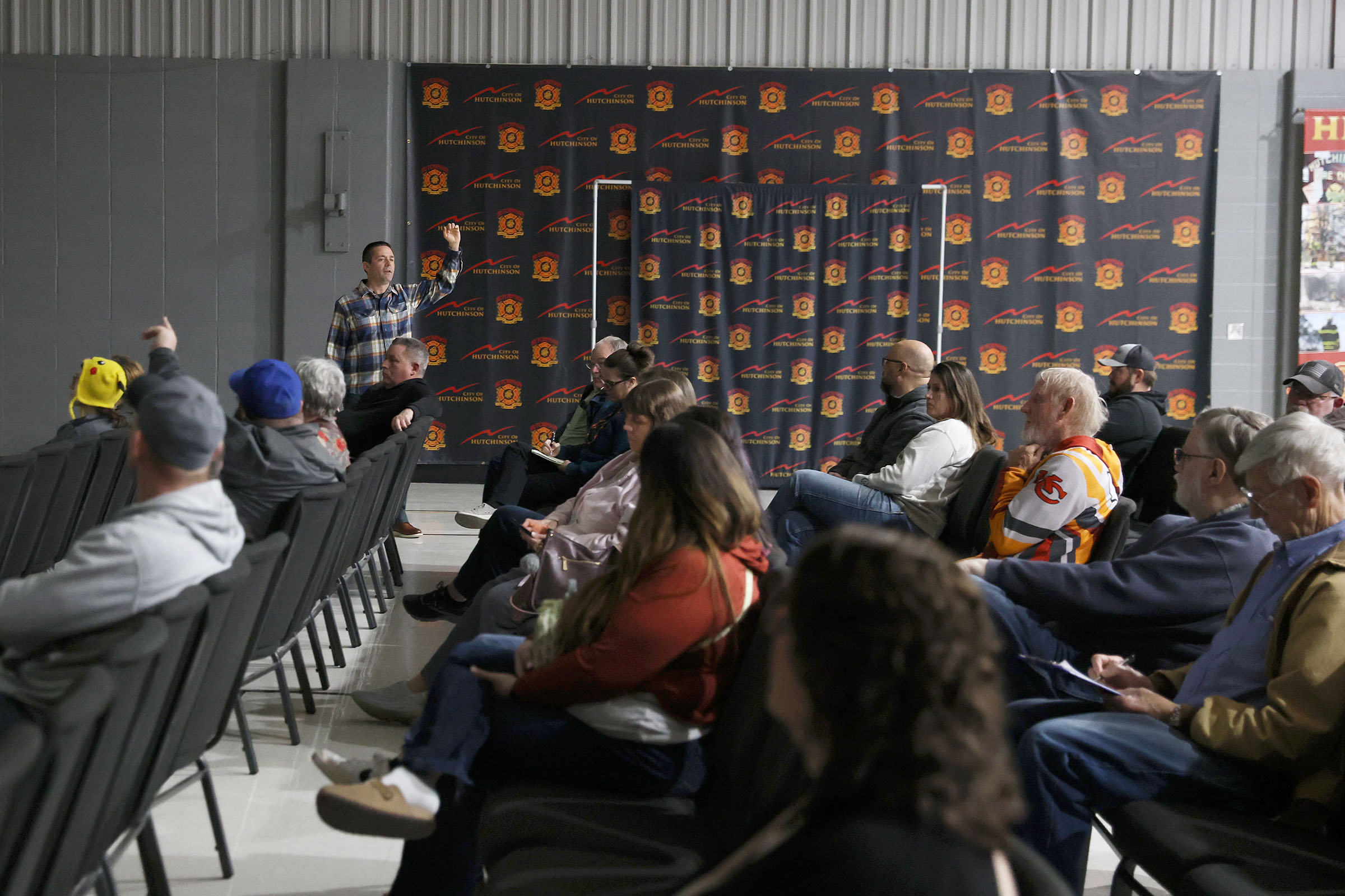
Andy Kleinsasser, meteorologist with the National Weather Service in Wichita, presented “Storm Fury on the Plains.” The training helps participants understand how storms develop, how to recognize severe weather features, and how to safely report what they see to the National Weather Service so warnings can be issued faster and more accurately.
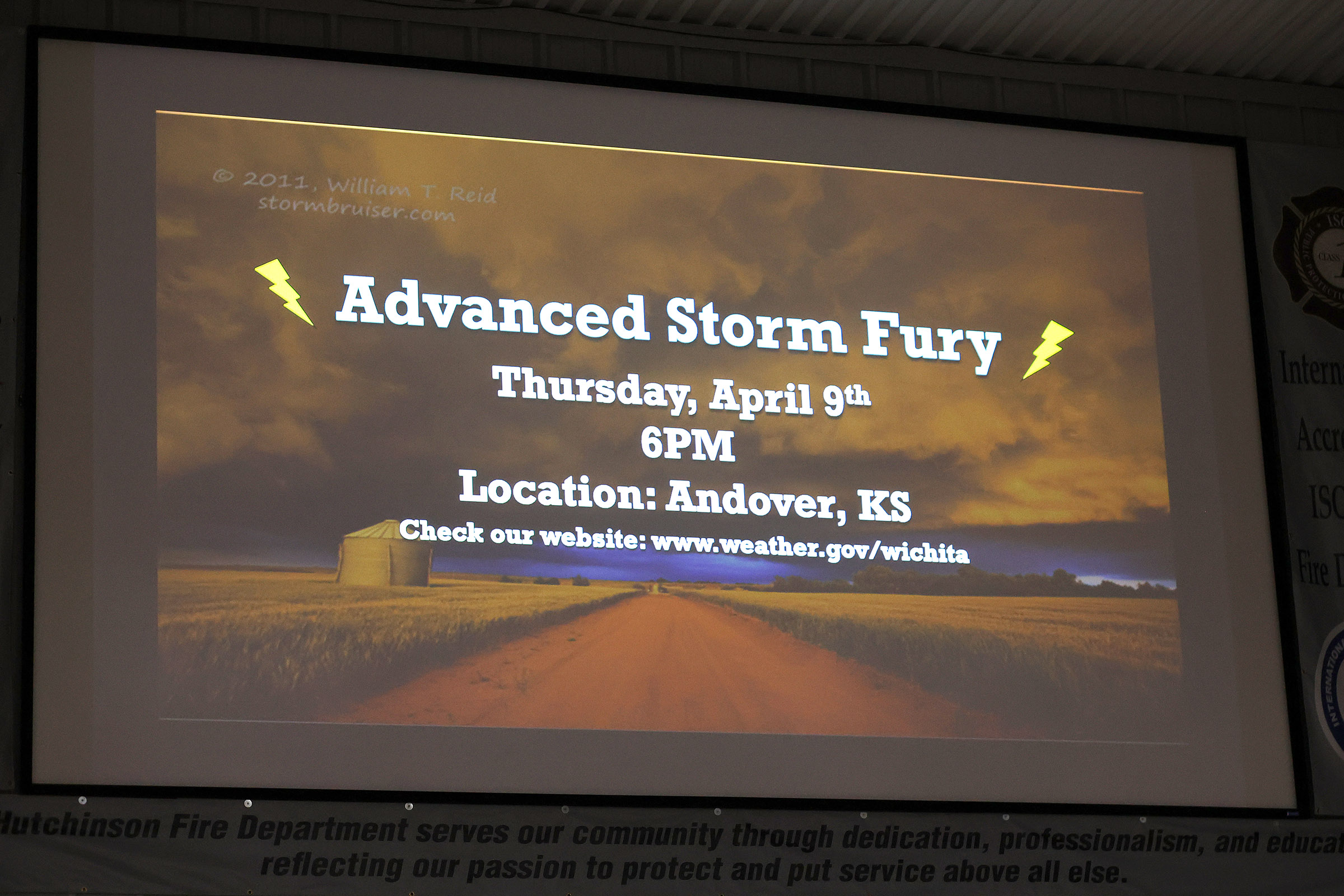
The NWS will be holding more trainings through March across the state and then offering an advanced talk on April 9th.
You can see the schedule at: https://www.weather.gov/ict/spottertalks
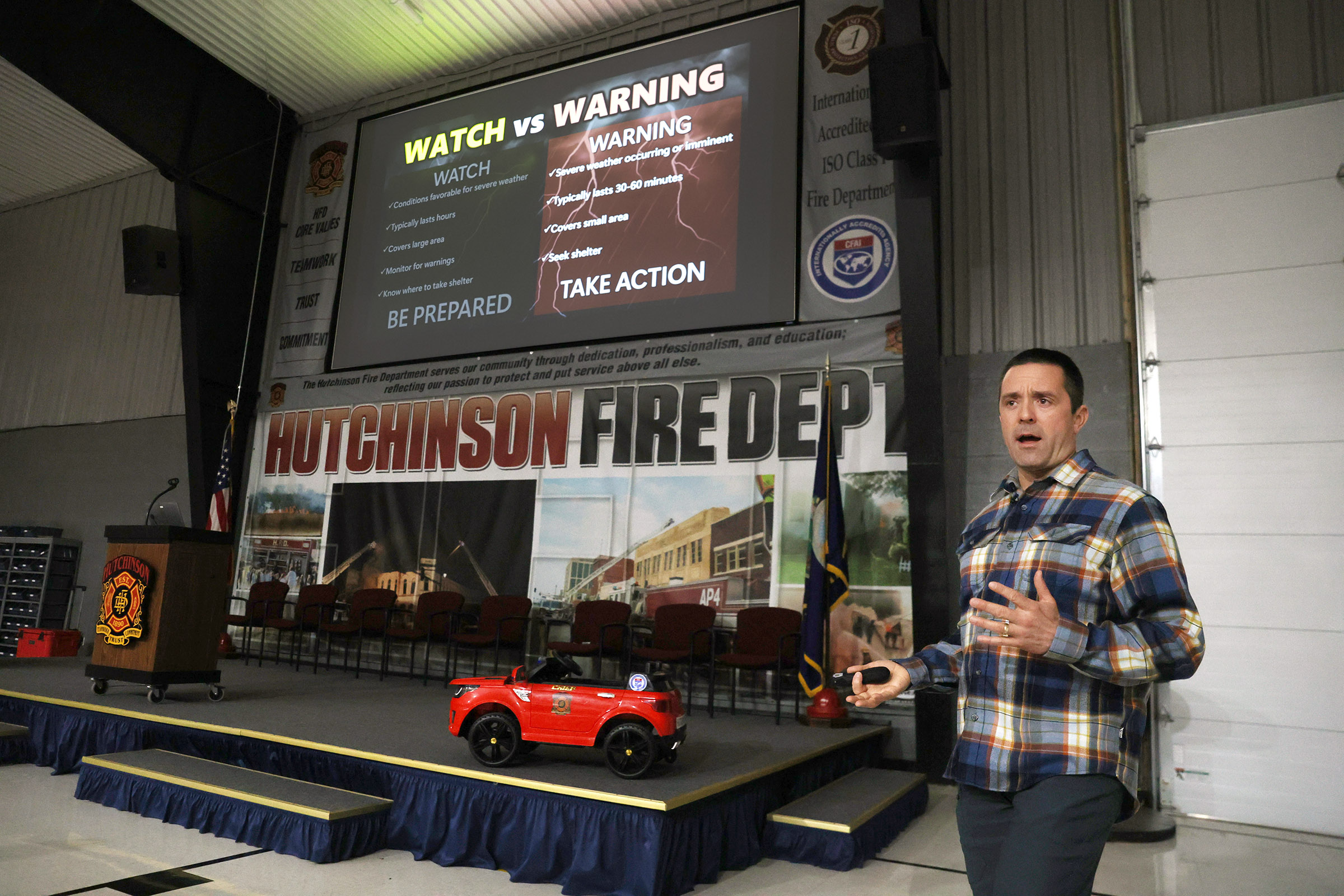
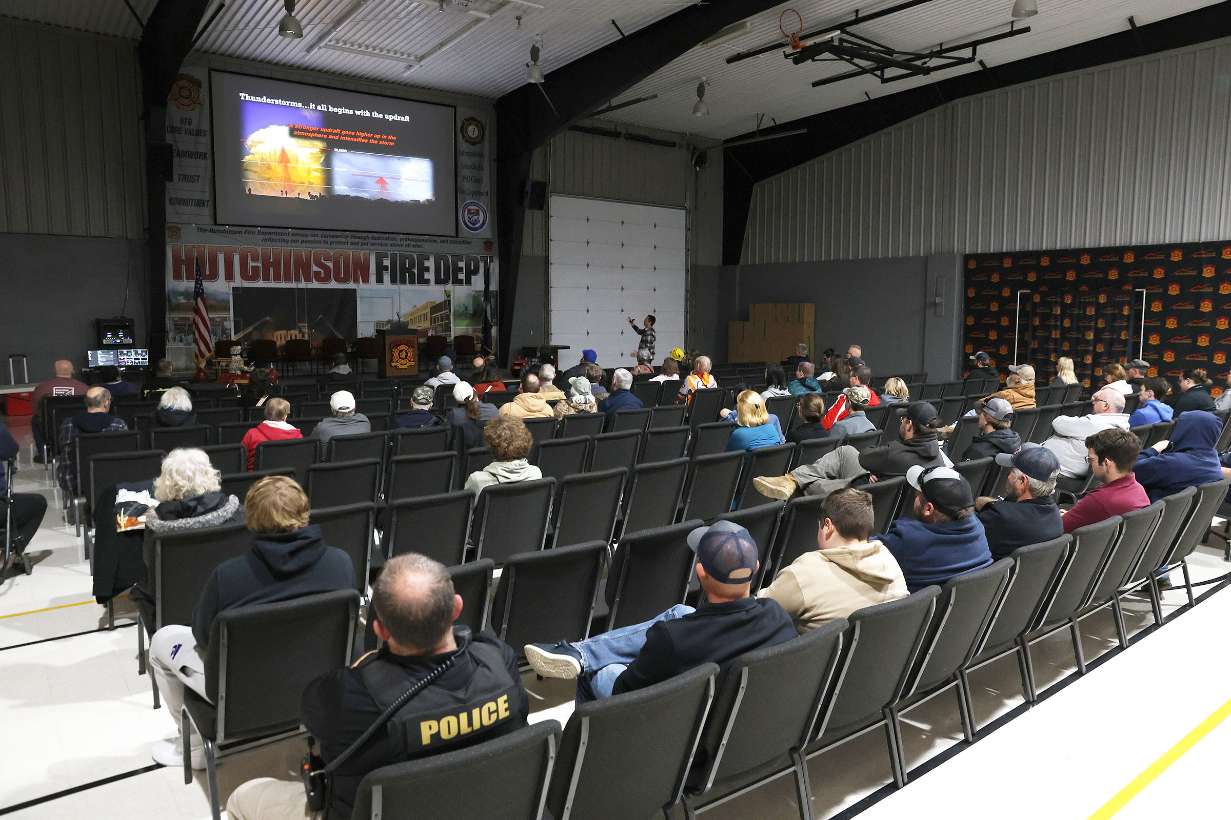
At a National Weather Service (NWS) storm spotter meeting—like the ones the NWS Wichita office runs each spring (“Storm Fury on the Plains”)—people learn how to recognize severe weather and report it safely to meteorologists. These classes are usually about 60–90 minutes long and are free and open to the public.
Here’s what participants typically learn:
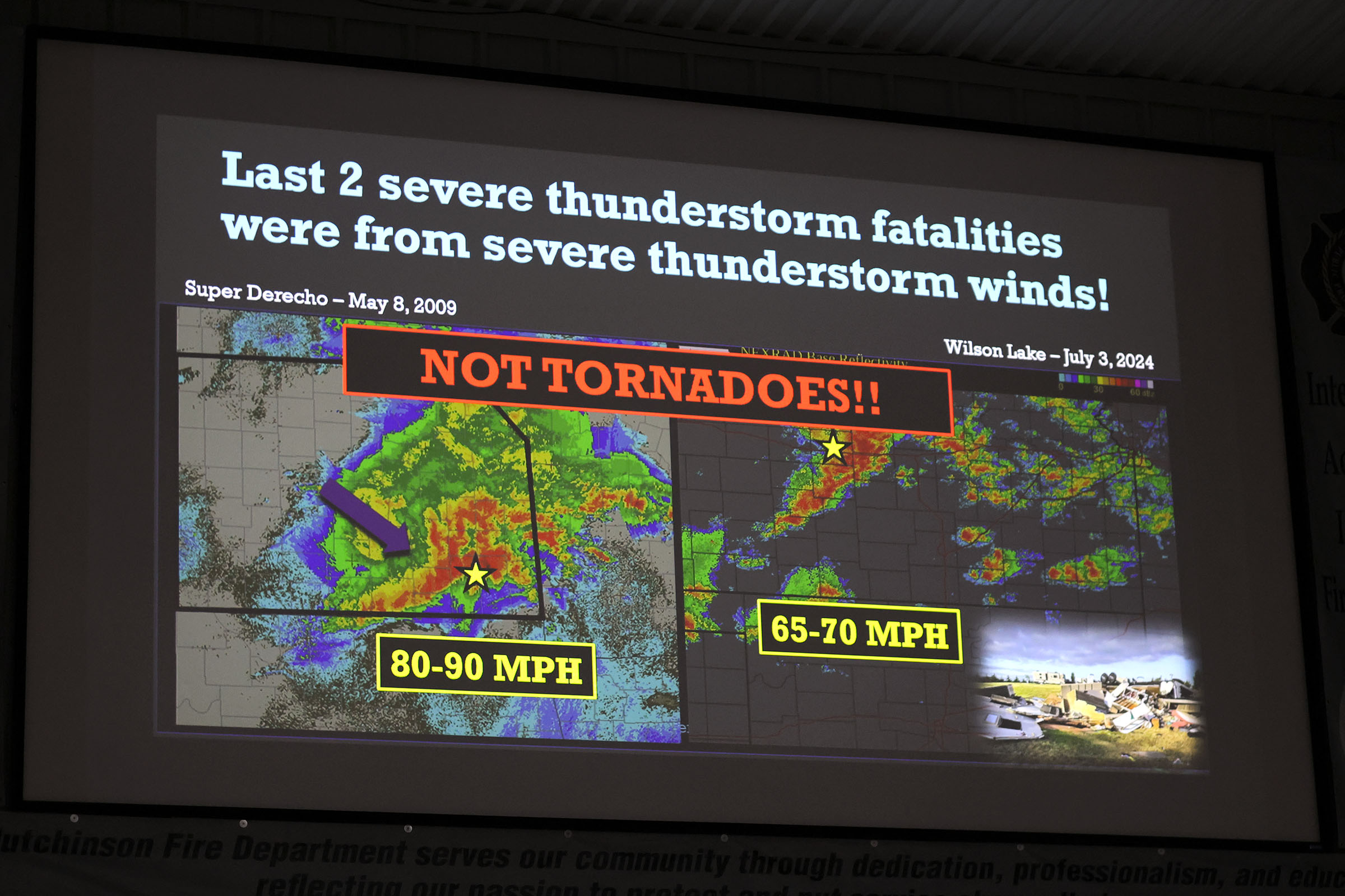
1. How Severe Thunderstorms Form
Meteorologists explain the basics of thunderstorm development, including:
The ingredients needed for storms (moisture, instability, lift, wind shear)
How storms grow from ordinary thunderstorms into severe storms
Why some storms produce tornadoes, large hail, or damaging winds
This gives spotters enough meteorology to understand what they’re seeing in the sky.
2. Types of Storms
Participants learn how to recognize different storm structures, such as:
Multicell storms
Squall lines
Supercells (including classic, high-precipitation, and low-precipitation types)
Understanding the type of storm helps identify whether it might become severe.
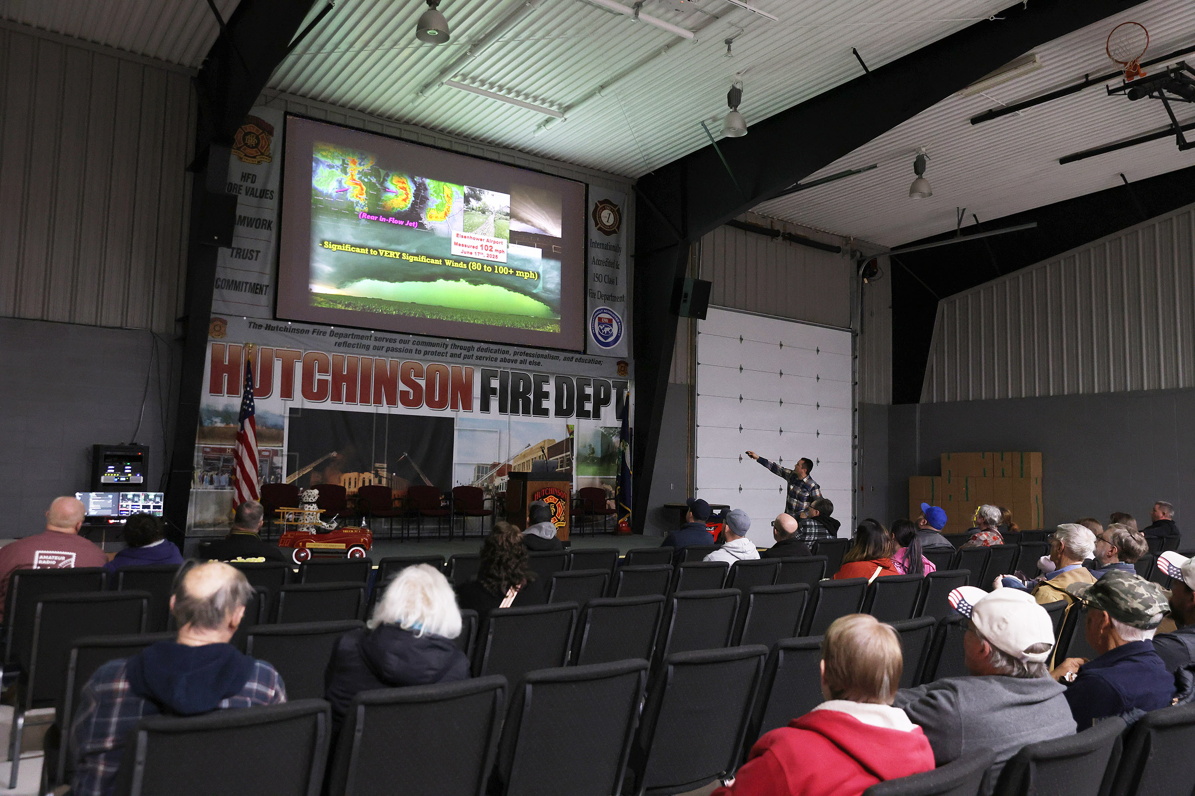
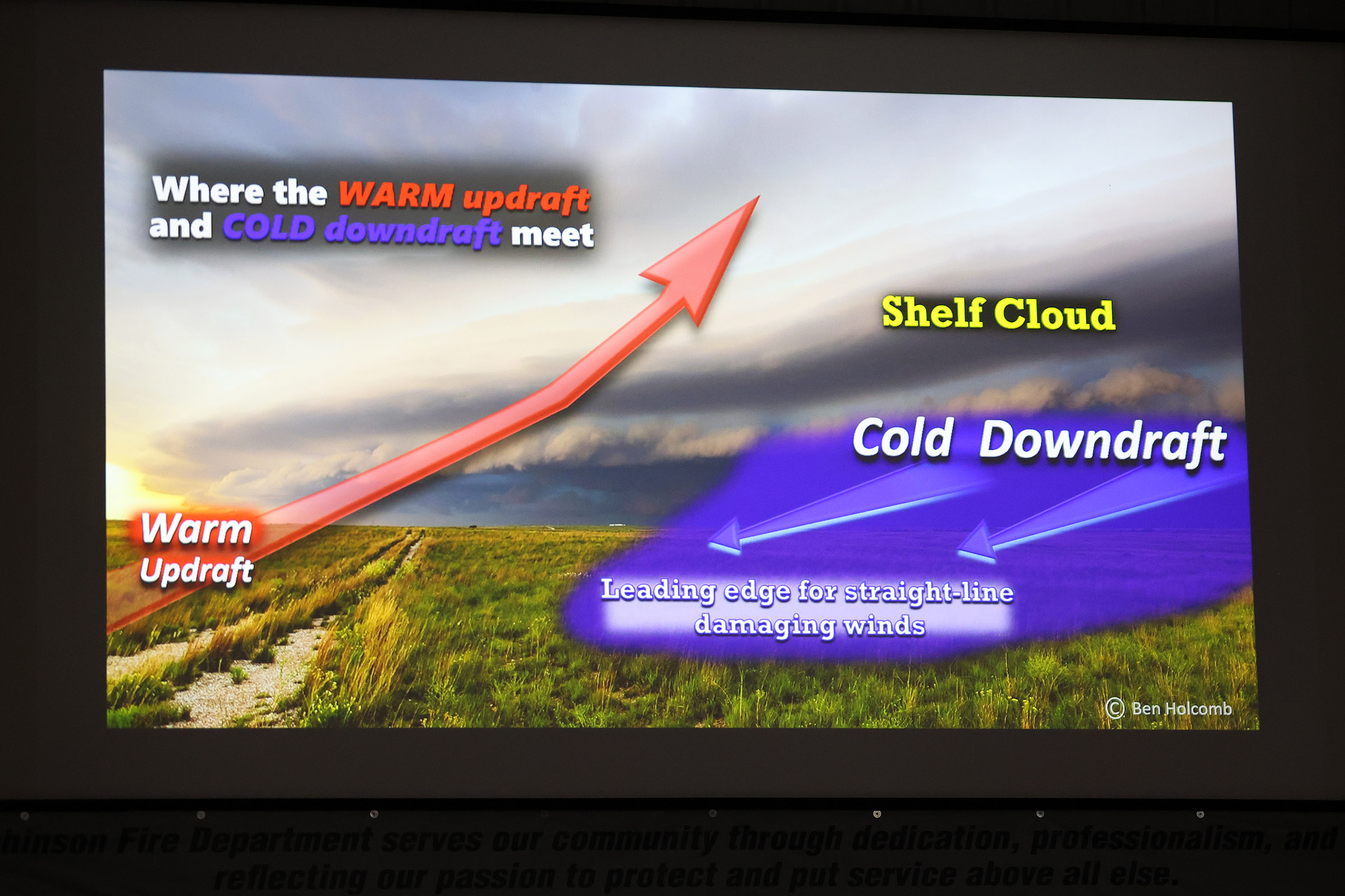
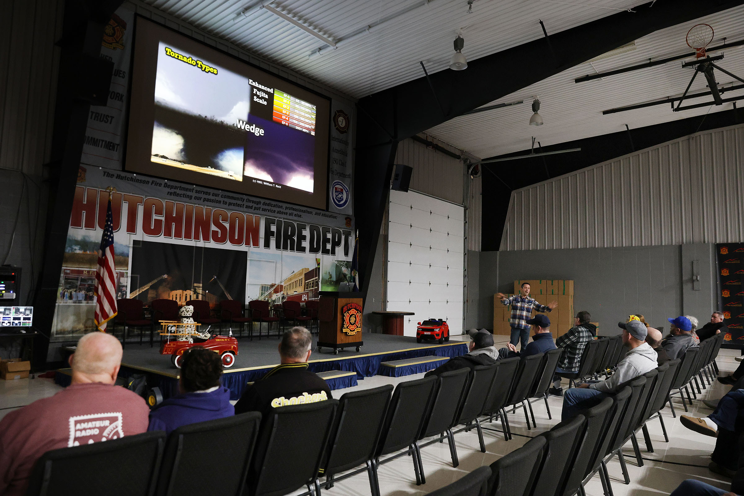
3. Key Visual Warning Signs
A big part of the class is recognizing dangerous cloud features. Meteorologists show photos and videos of things like:
Wall clouds
Funnel clouds and tornadoes
Shelf clouds and gust fronts
Rotation in the cloud base
Large hail and damaging wind signatures
The training is very visual so people can quickly recognize these features in real life.
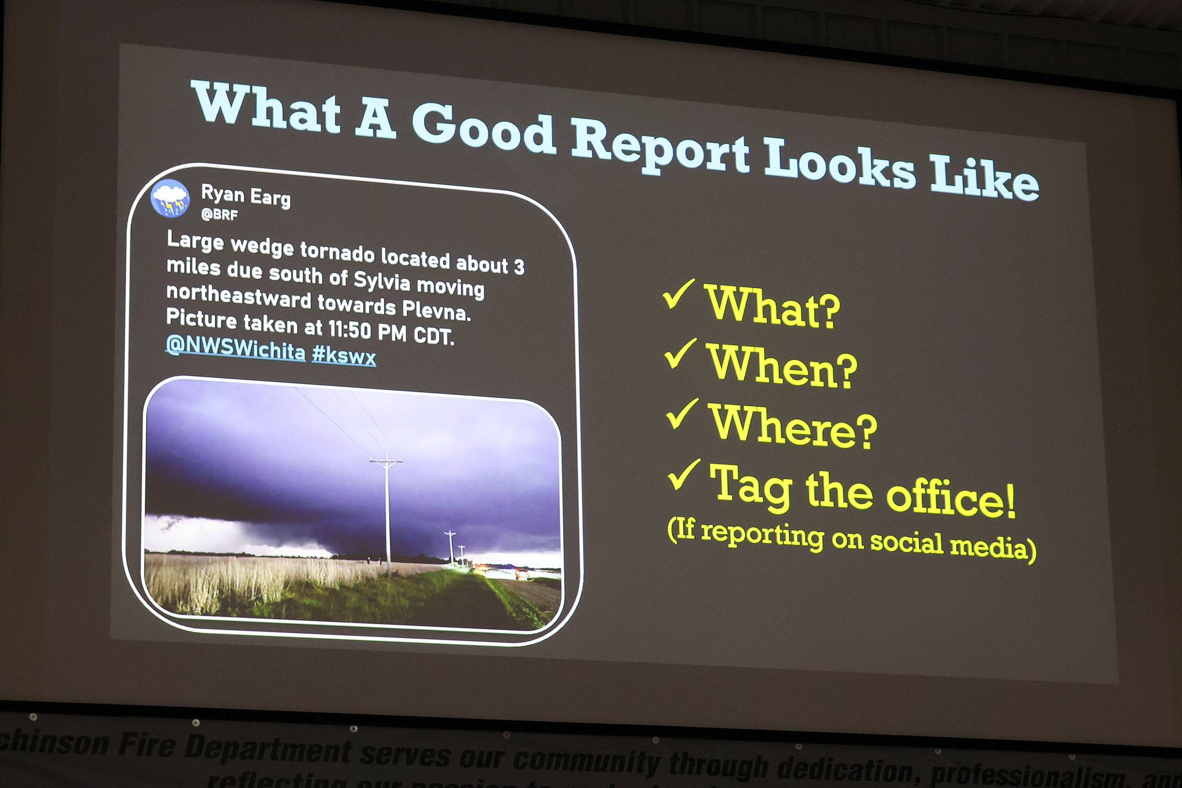
4. What to Report to the National Weather Service
Spotters are taught which observations are most valuable, such as:
Tornadoes or funnel clouds
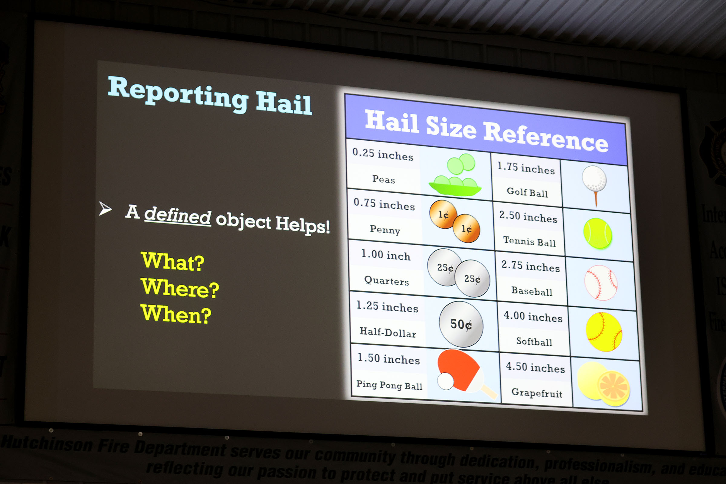
Hail size (often using coins for comparison)
Wind damage or measured wind speeds
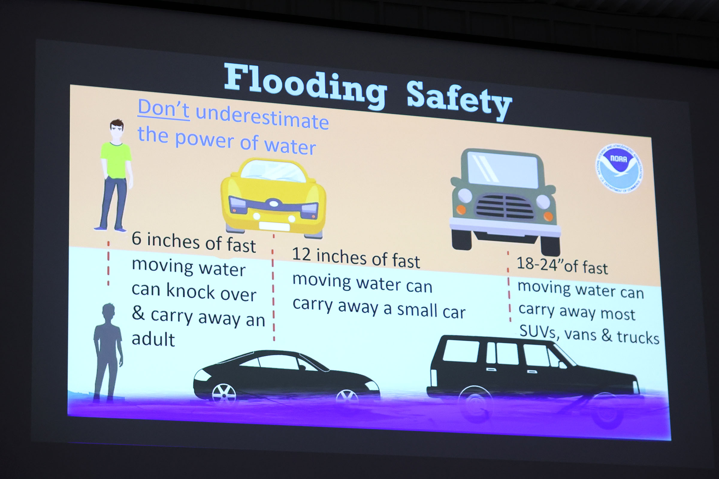
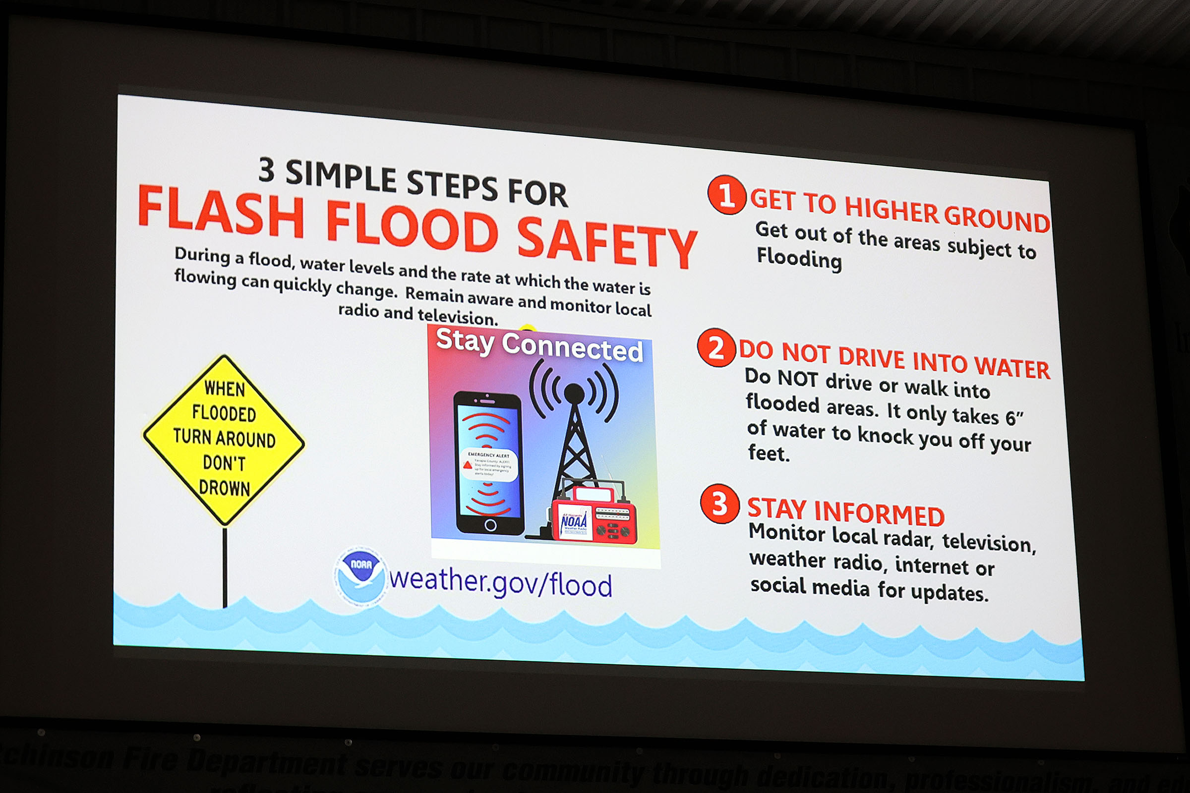
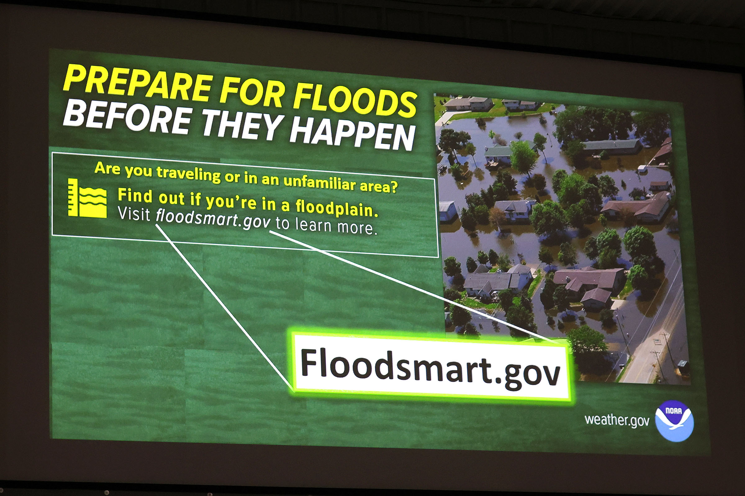
Flash flooding or heavy rain
Storm damage like downed trees or power lines
These ground reports help meteorologists confirm radar data and issue warnings.
5. How to Send Reports
Participants learn the ways spotters relay information, including:
Phone reports to the local NWS office
Spotter apps or online systems
Amateur (ham) radio networks used during severe weather
Accurate reports help forecasters create Local Storm Reports used for warnings and records.
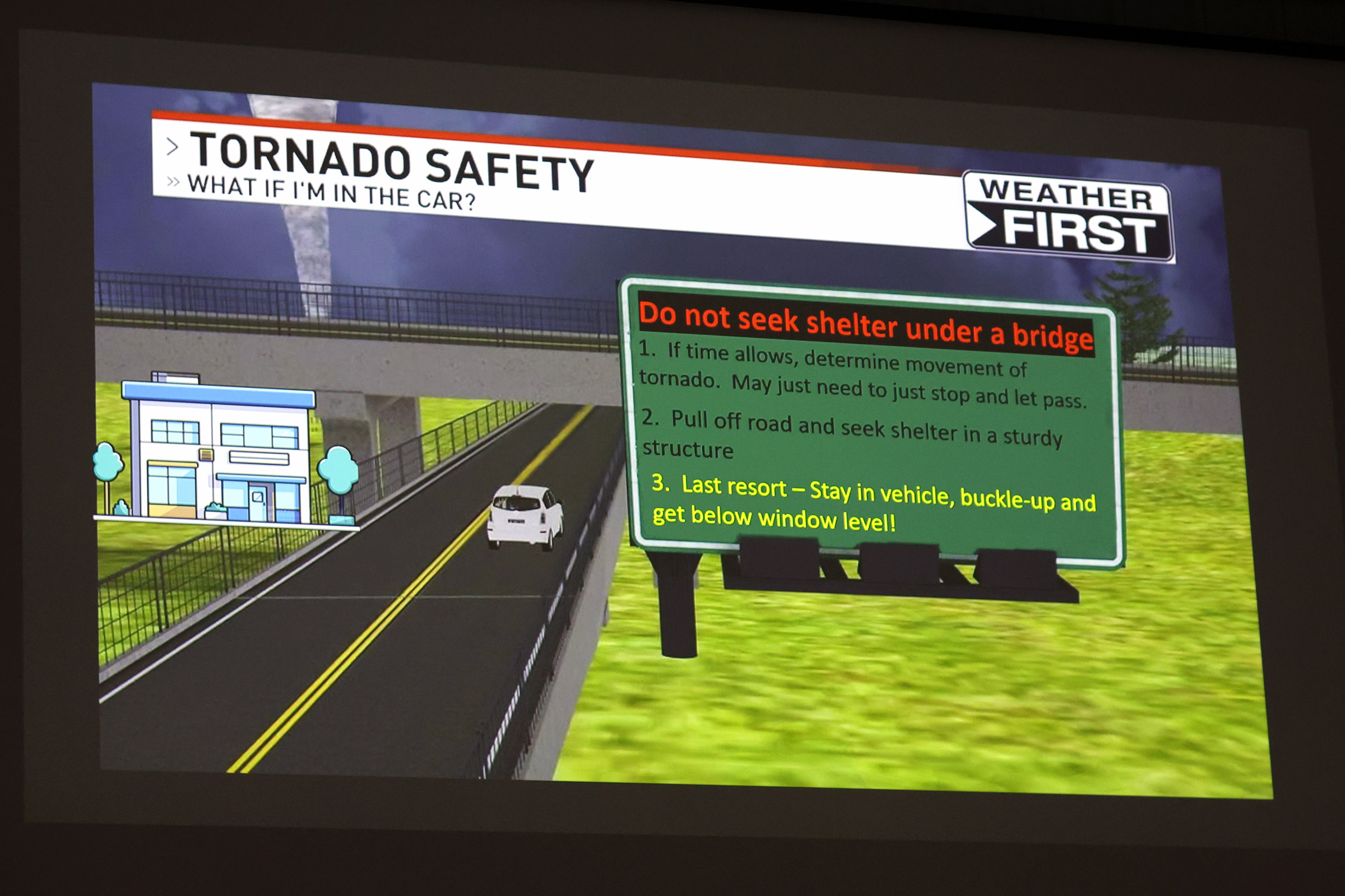
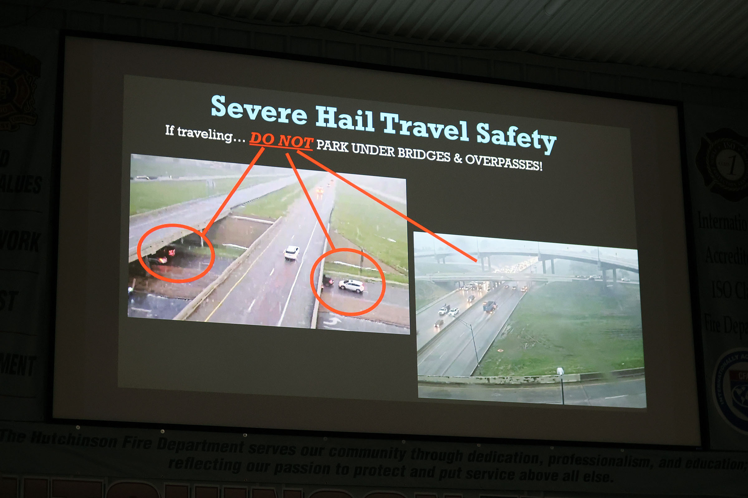
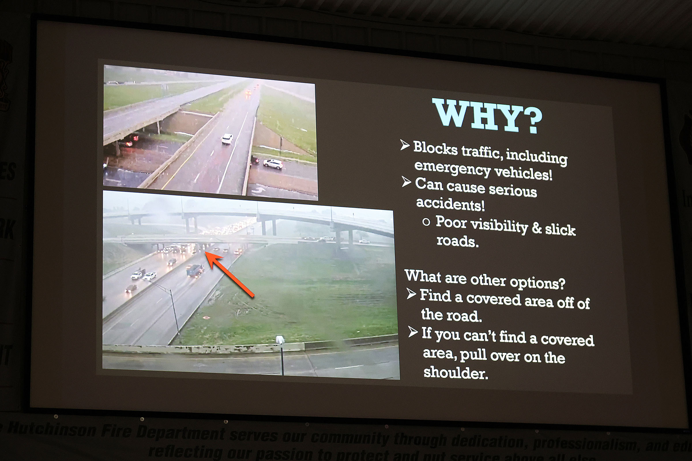
6. Safety for Storm Spotters
The class also stresses personal safety, including:
Where to observe storms safely
When to stop spotting and take shelter
How to avoid lightning, flash flooding, and tornado hazards
They emphasize that spotters are observers, not storm chasers.
✅ Bottom line:
A storm spotter meeting teaches people how storms work, how to recognize severe weather features, and how to safely report what they see to the National Weather Service so warnings can be issued faster and more accurately.